


6.2 km | 8.6 km-effort

User GUIDE


FREE GPS app for hiking
 SityTrail
IGN / Geographical institutes
SityTrail World
The world is yours!
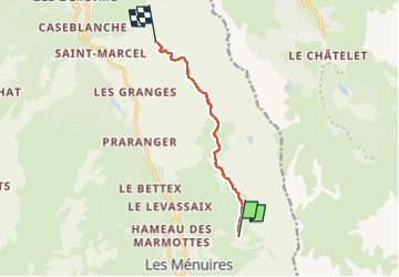
Trail Walking of 6.7 km to be discovered at Auvergne-Rhône-Alpes, Savoy, Les Belleville. This trail is proposed by mumu.larandonneuse.
Des Menuires à Saint-Martin-de-Belleville par le sentier d'altitude.
Du Roc 1 au St Martin 1.
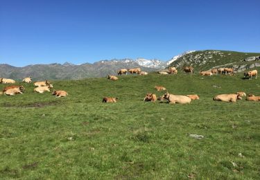
 - Photo 1")
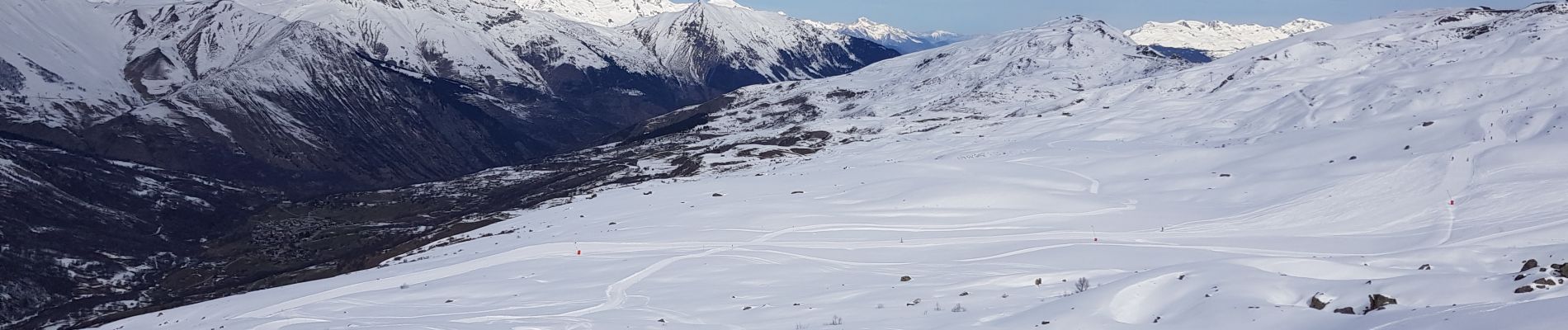
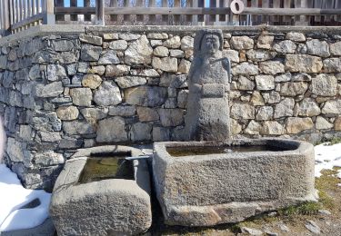
 - Photo 2")
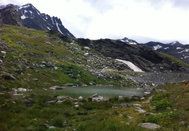
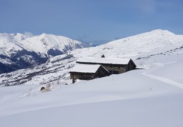
 - Photo 3")
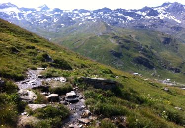
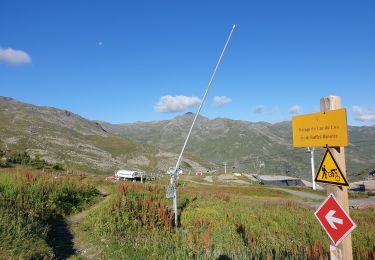
 - Photo 4")
Walking
Walking
Walking
Walking
Walking

Walking
Walking

Walking

Other activity